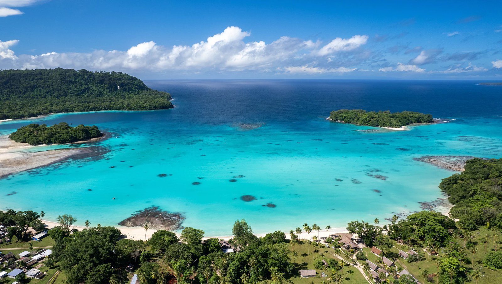
A shallow earthquake of magnitude 5.9 struck offshore Vanuatu on Monday morning, centred about 185 kilometres (115 miles) northwest of Port-Olry at a depth of just 10 kilometres (6.2 miles), according to the U.S. Geological Survey. The quake struck at 07:49 UTC.
The USGS issued a green alert for the event, indicating a low likelihood of casualties or damage, with maximum estimated shaking intensity near IV. There is no tsunami threat associated with the earthquake, based on its location and available data. Its epicentre, at 14.0°S, 165.7°E, sits offshore in the northern part of the island chain, far from major towns.
The main shock was not alone: further tremors in the same offshore area, including events measured at 5.4 and 5.3, were recorded in the hours that followed, a common aftershock pattern after a shallow quake of this size.
Vanuatu sits on the Pacific Ring of Fire at the boundary between the Australian and Pacific plates, one of the most seismically active zones on Earth. Offshore epicentres like Monday’s usually spare the islands’ towns, but they are a regular reminder of the exposure that shipping routes, small ports and fishing operations along the northern islands live with.