
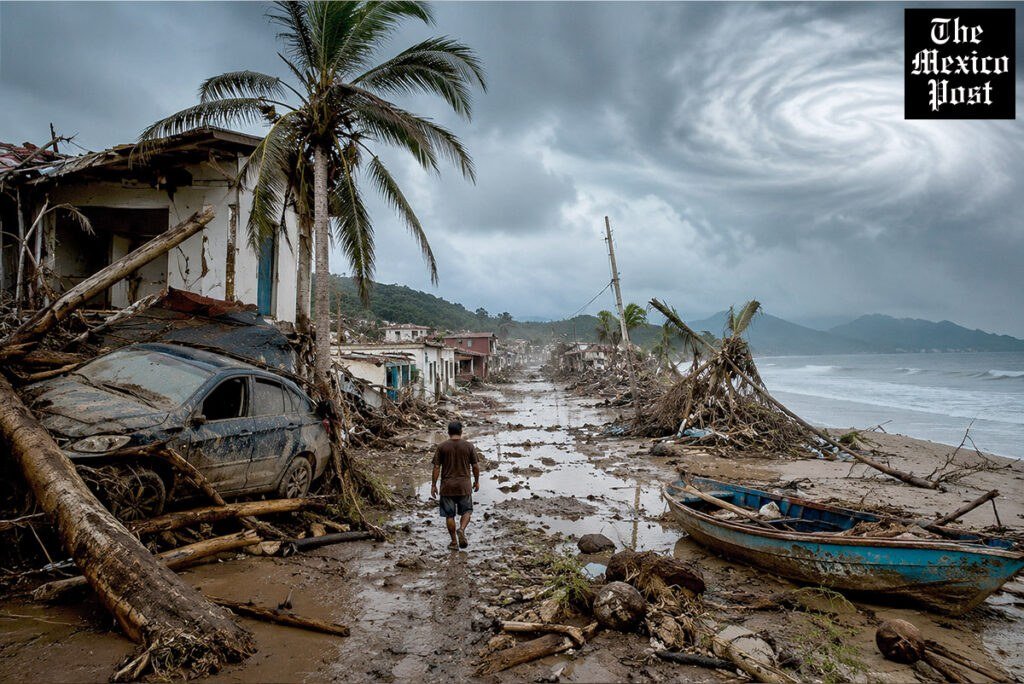
Hurricane Trudy maintained Category 2 strength early Sunday as it tracked parallel to Mexico's southwest and west-central Pacific coast, about 150 miles west of Manzanillo, with maximum sustained winds of 105 mph and movement to the northwest at about 10 mph, the U.S. National Hurricane Center said.
A hurricane warning was in effect from Manzanillo, Colima, to Cabo Corrientes, Jalisco. The centre of the storm was forecast to stay near the coast through Sunday evening before moving south of Baja California on Monday and Tuesday, with rapid weakening expected from Sunday night.
The Hurricane Center forecast 4 to 8 inches of rain, with isolated totals near 12 inches, across Michoacán, Colima and Jalisco — enough to raise the risk of life-threatening flooding and mudslides, especially in steep terrain — along with dangerous storm surge and damaging waves on exposed coasts.
Mexico's navy urged coastal residents and mariners to use extreme caution amid high waves, rising rivers, flooding and landslide risk, and Colima officials warned that ground already saturated by successive storms could worsen the impacts.