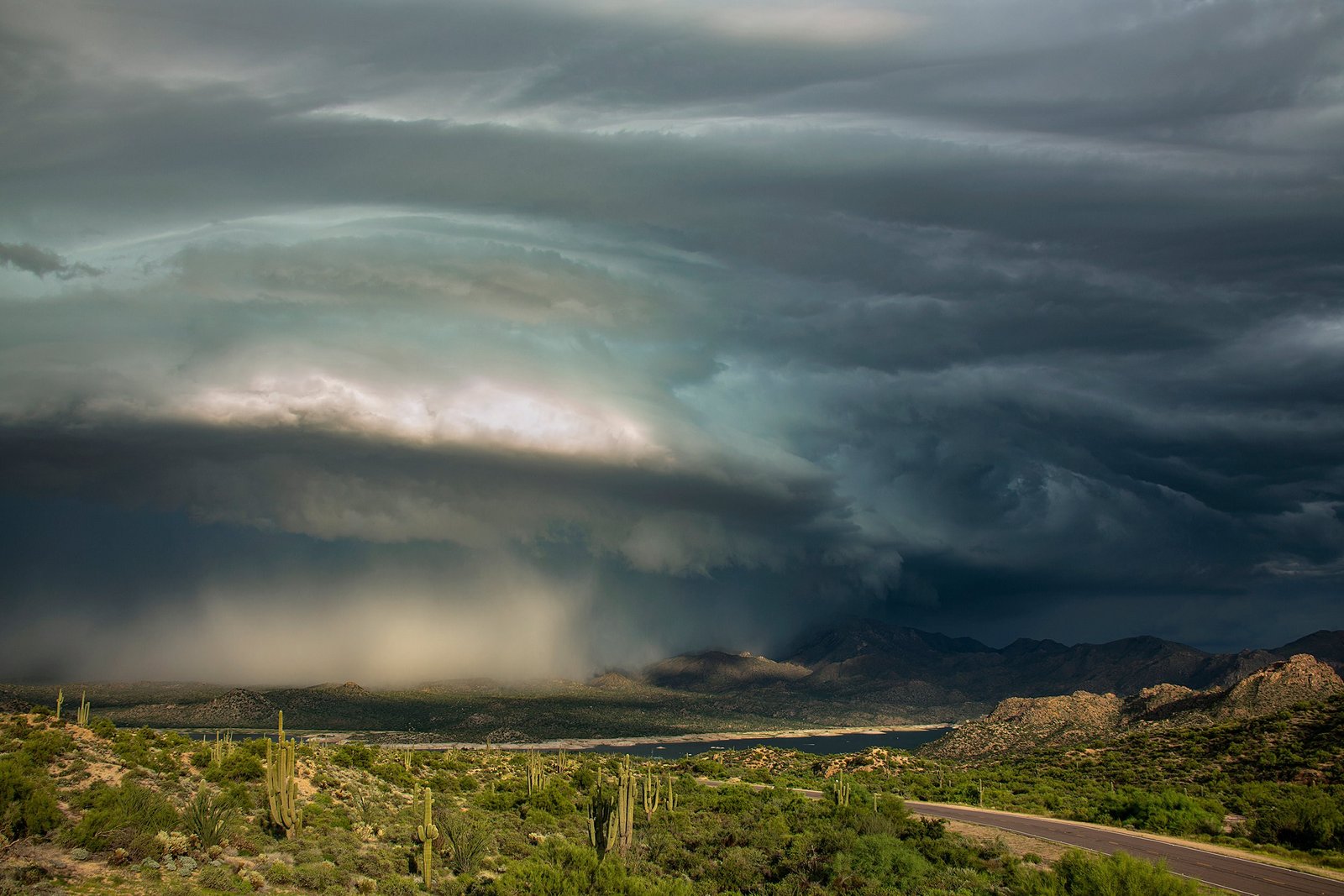
A flood threat is assembling over the U.S. Southwest. A powerful surge of tropical moisture associated with former Hurricane Trudy is expected to fuel heavy rainfall, dangerous flash flooding and possible mudslides across the region from Wednesday through Friday, as a developing storm system pulls the moisture northward from the eastern Pacific.
The National Weather Service's Weather Prediction Center has highlighted a Slight Risk of excessive rainfall for portions of the Southwest and Four Corners region on Wednesday, October 21, with particular concern for communities near wildfire burn scars, desert washes and steep mountain terrain — landscapes where rain runs off instead of soaking in, and where flash floods can arrive with little warning. The threat area spans California, Arizona, Nevada, Utah, New Mexico and Colorado.
The sequence begins Tuesday: a Pacific low-pressure system approaches California, bringing increasing clouds and the possibility of rain and mountain precipitation by Tuesday night. On Wednesday, heavy showers and thunderstorms spread across the Desert Southwest and Four Corners, with some storms capable of repeatedly moving over the same locations and piling up dangerous rainfall totals.
The flooding risk continues Thursday across Arizona, New Mexico, Nevada, Utah and Colorado, where additional rain on already saturated ground raises runoff into rivers and normally dry washes. By Friday, showers may linger across parts of the Rockies with elevated river levels. Forecasters urge residents in flood-prone and burn-scar areas to monitor the latest bulletins, since the outlook can shift as the moisture plume's track firms up.