
Southern California is trading a heat wave for a flood watch. After days of October heat, forecasters say rain, unusually high water levels and elevated surf are expected to peak on Sunday, when seawater could spill into beach parking lots, across bike paths and harbour walkways and into streets.
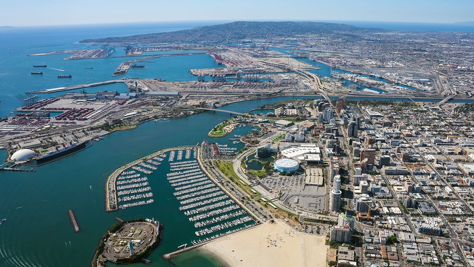
The daytime high tide hits around 9:45 a.m., with high tides on Friday and Saturday in the mid-morning inching near six feet and a night high tide after 9 p.m. expected around five feet. Forecasters in Los Angeles are particularly concerned about flooding in Long Beach, where previous heavy surf events have already damaged vulnerable areas — the peninsula's boardwalk was damaged during Hurricane Marie and homes were threatened with flooding.
In Newport Beach, utility crews have spent recent evenings running pumps along the Balboa Peninsula and on Balboa Island to keep water at bay, and plan to continue through the weekend and into Monday if rain persists. Berms are also being reinforced, and 40 to 50 city employees are expected to work each day over the weekend responding to flooding or other problems.
In Laguna Beach, waves arrived about two feet higher than expected on Thursday, with surf around five feet, and minor flooding was reported around Pacific Coast Highway. Officials say three factors are stacking up at once: surf a little larger than normal, high tides, and potentially a Kelvin wave — a warm-water anomaly that travels from around the equator and pushes water levels higher for extended periods.